NOTES:
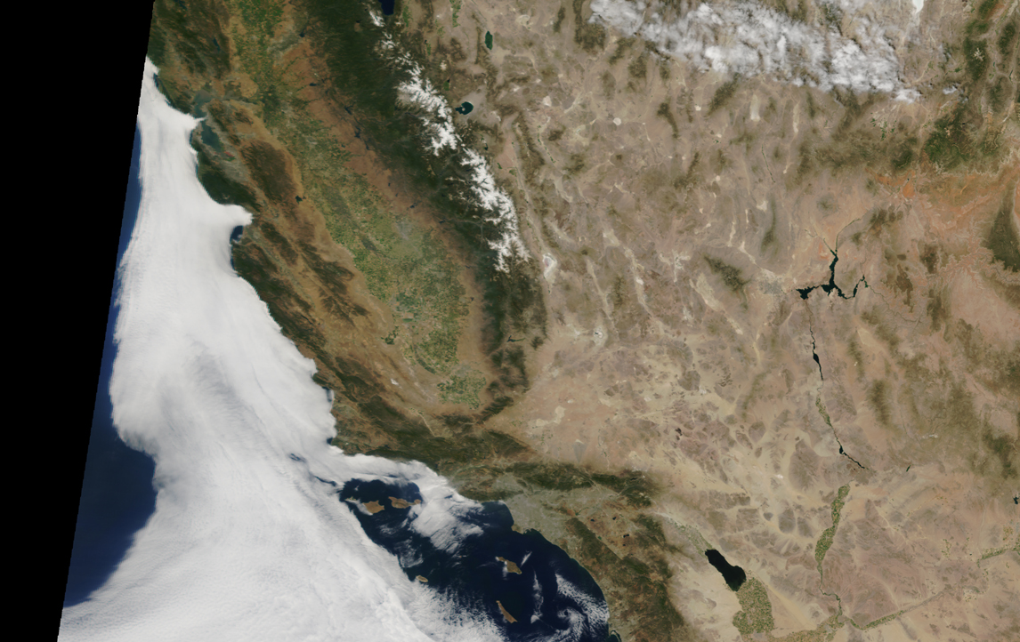
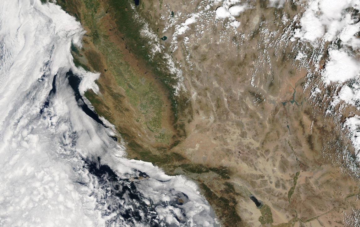
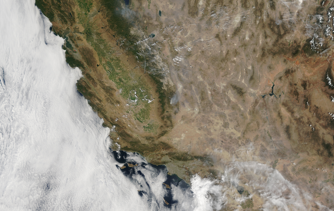
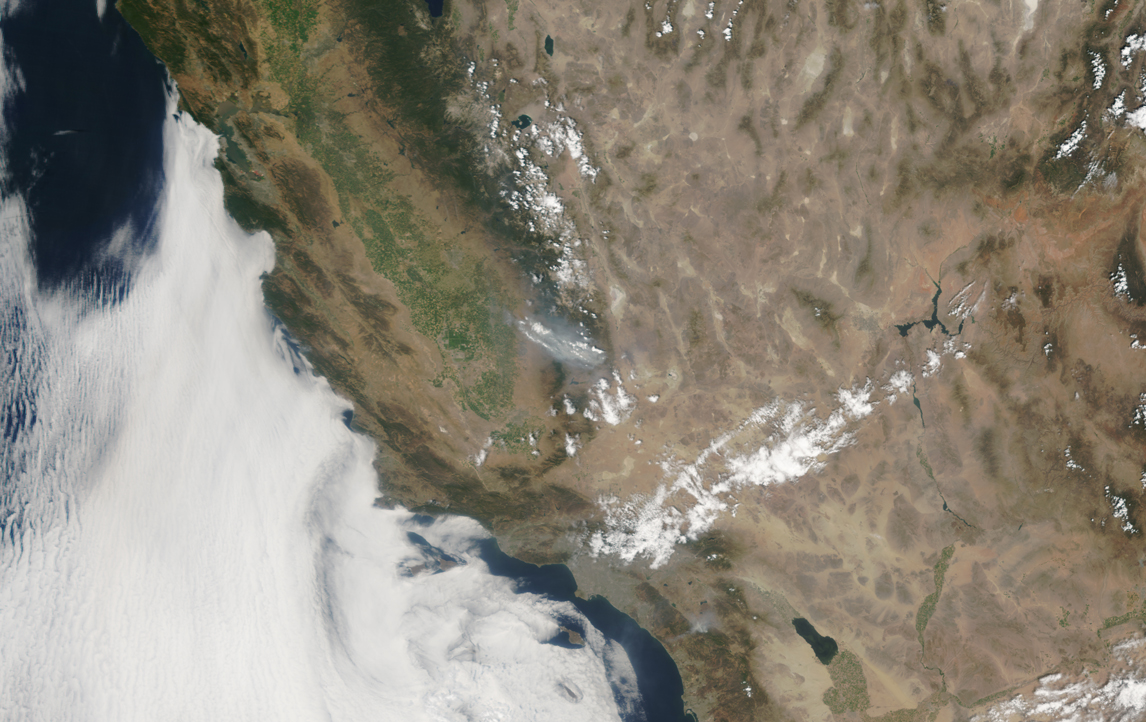
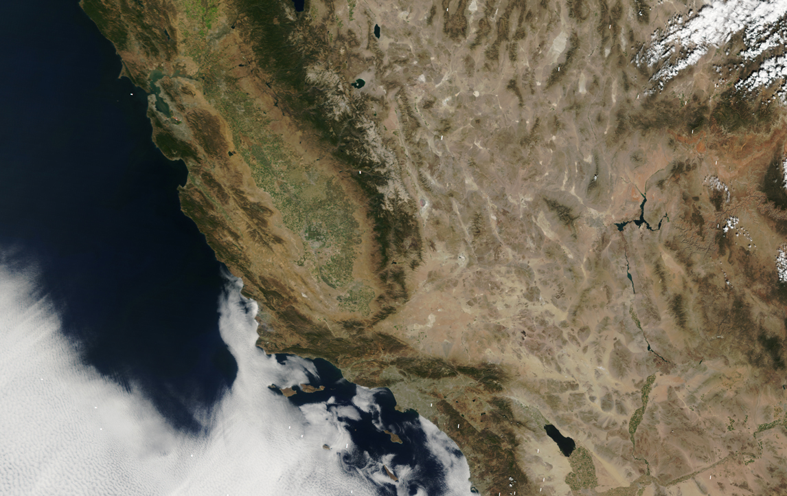
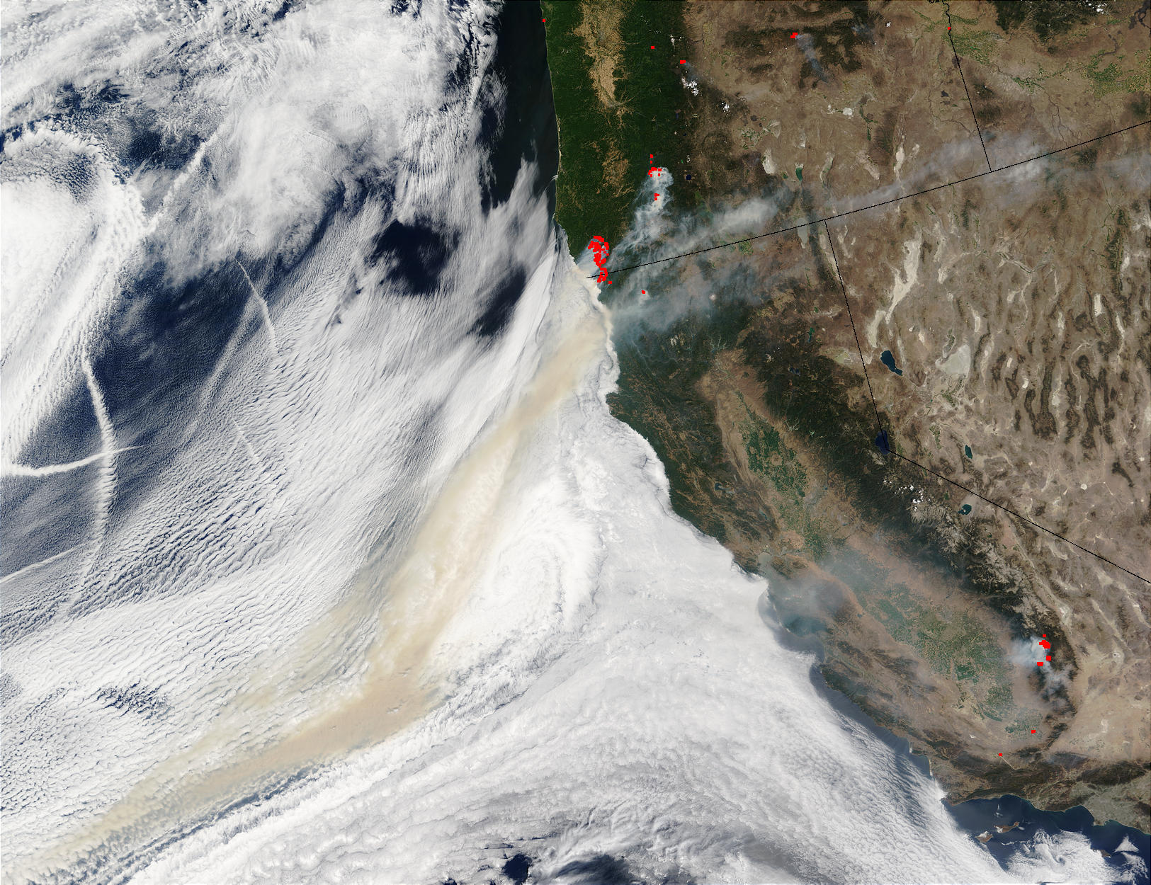
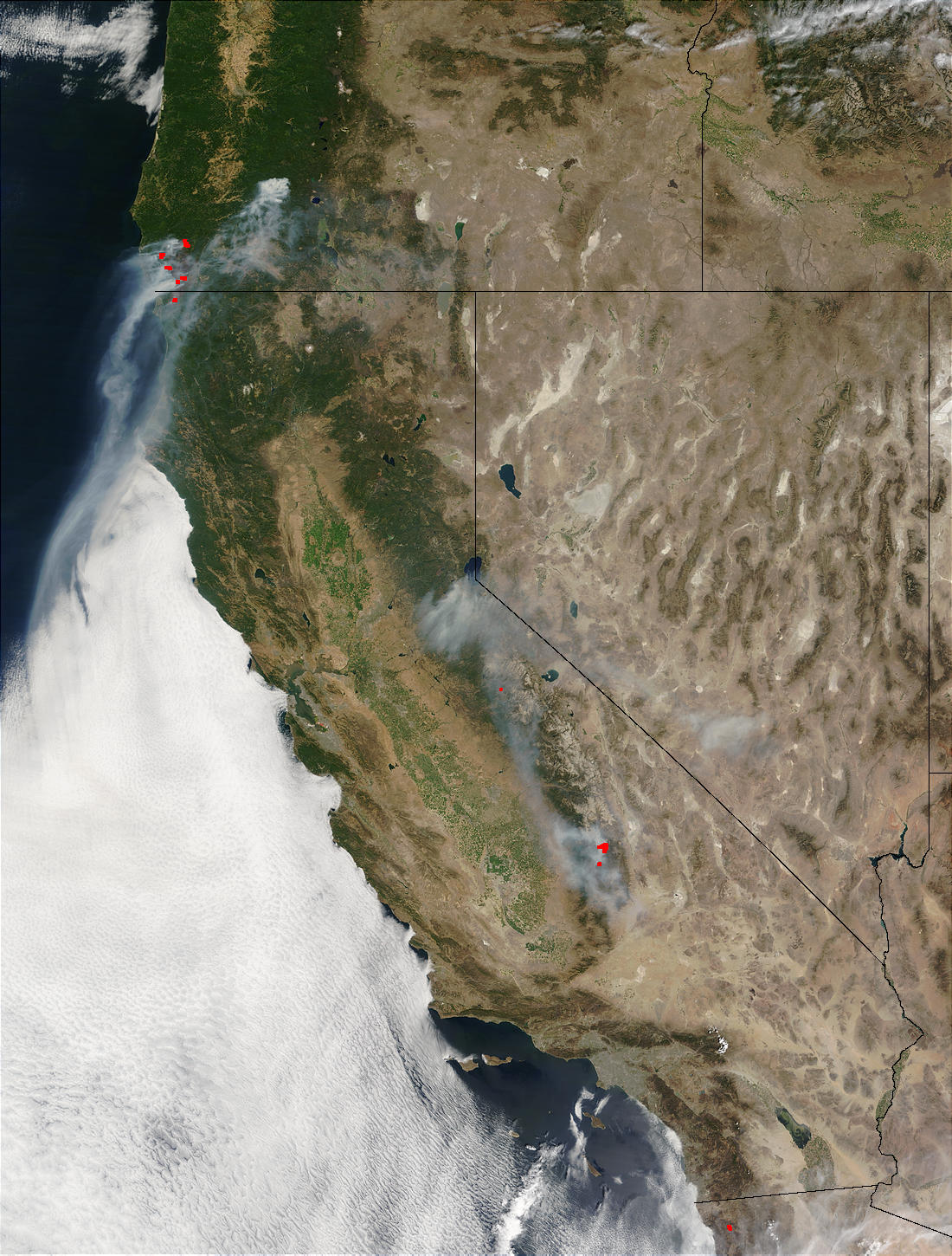
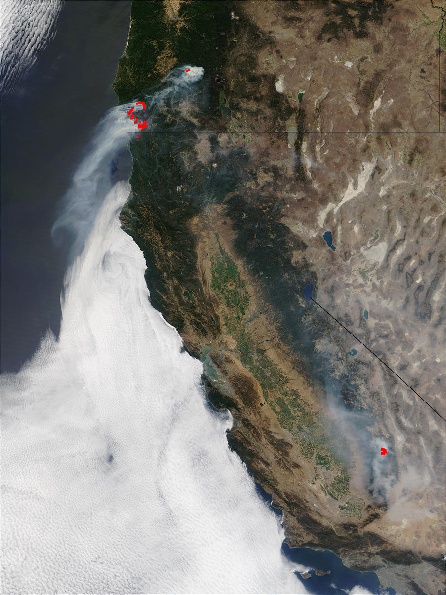
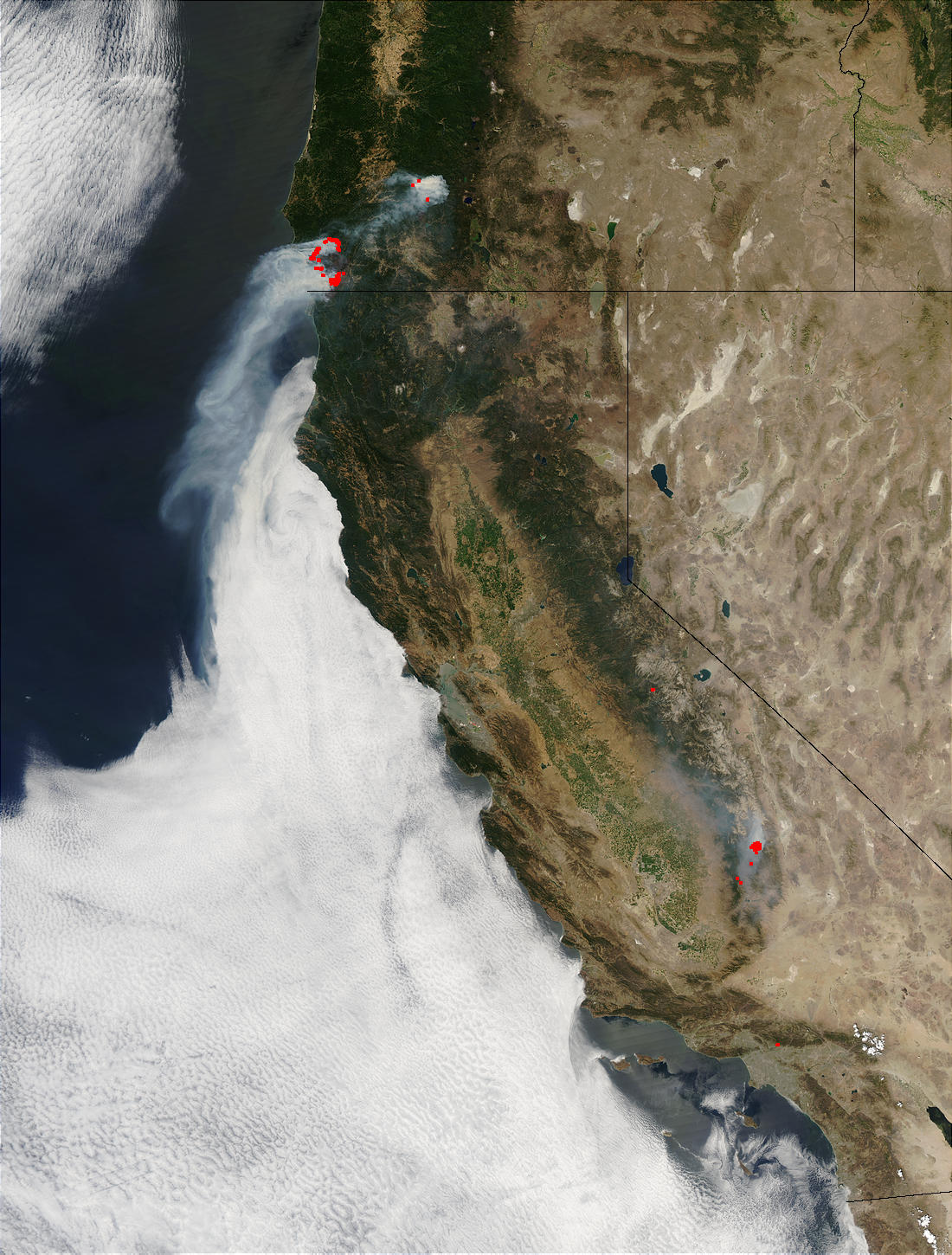
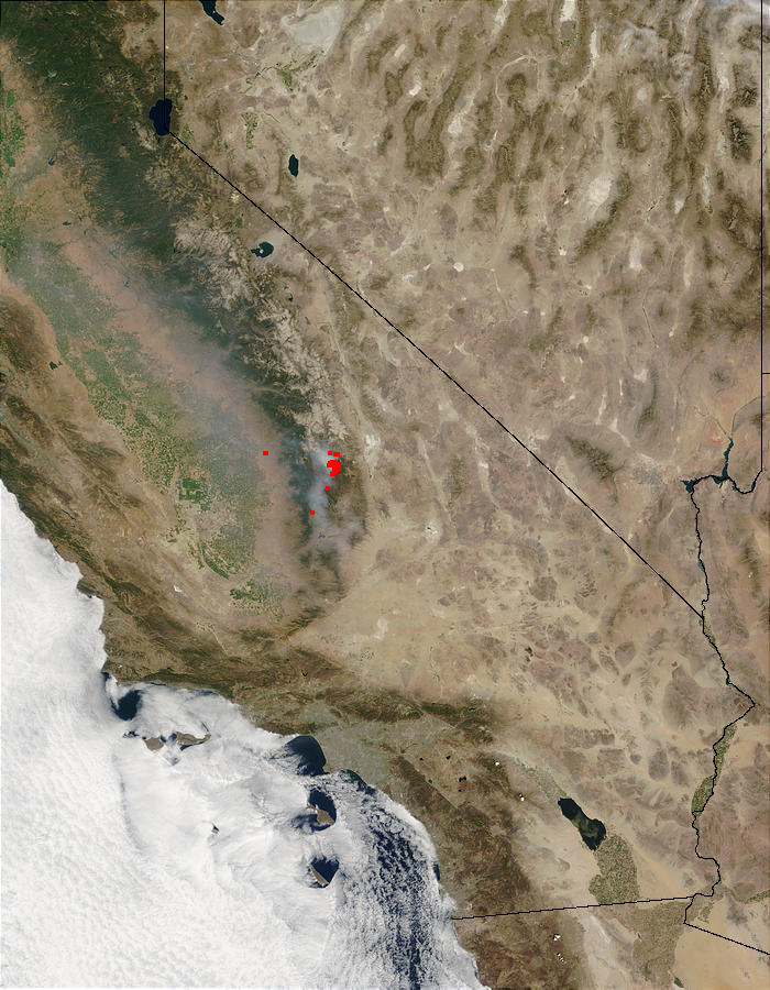
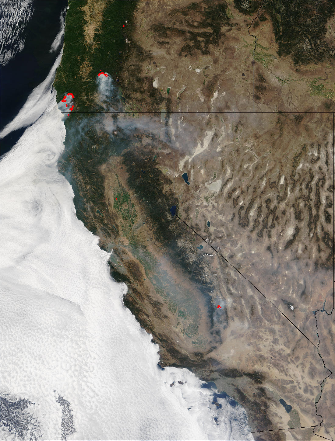
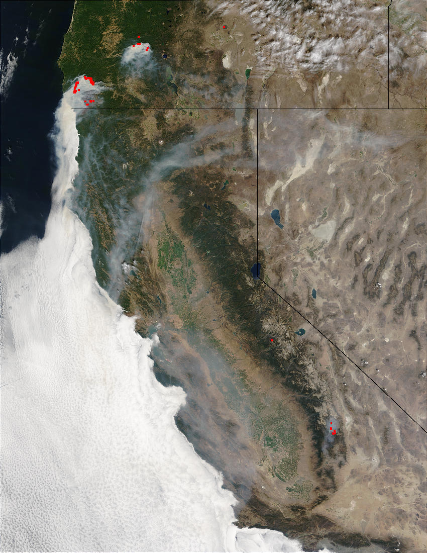
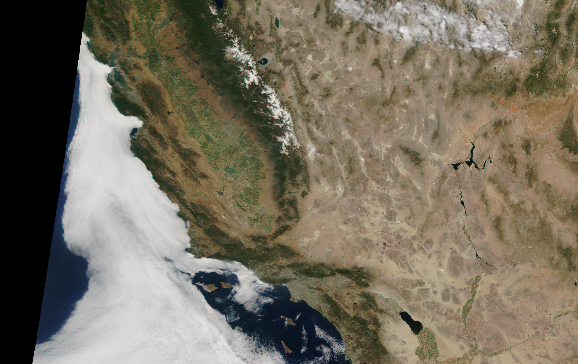
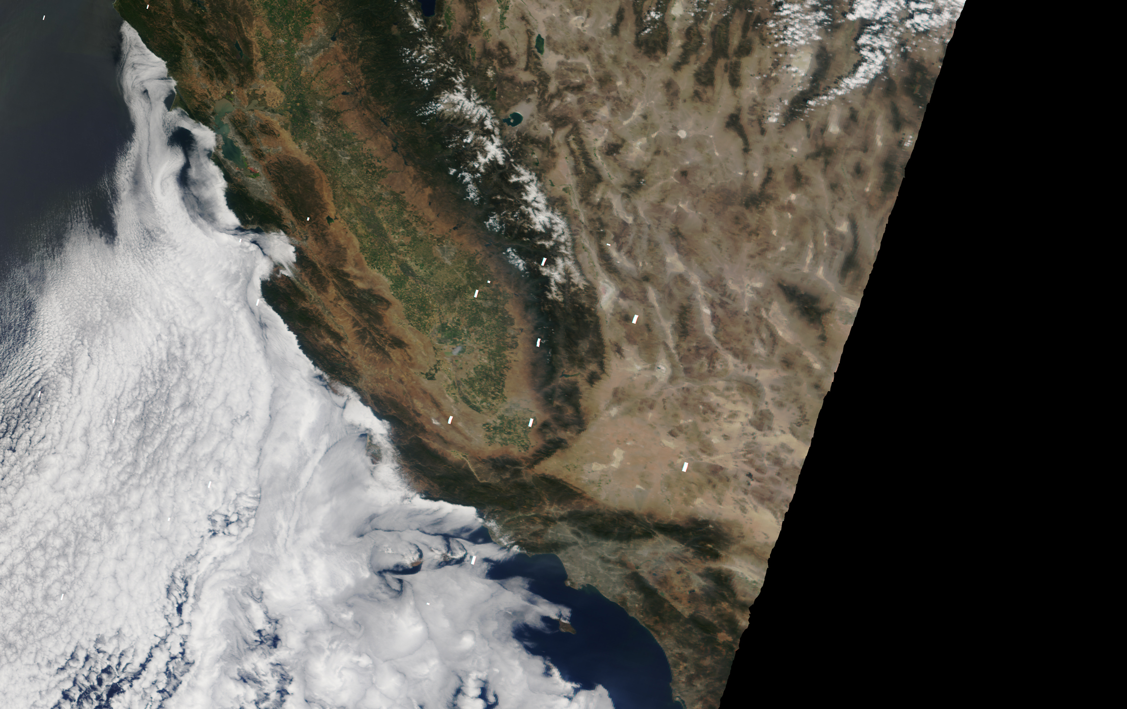
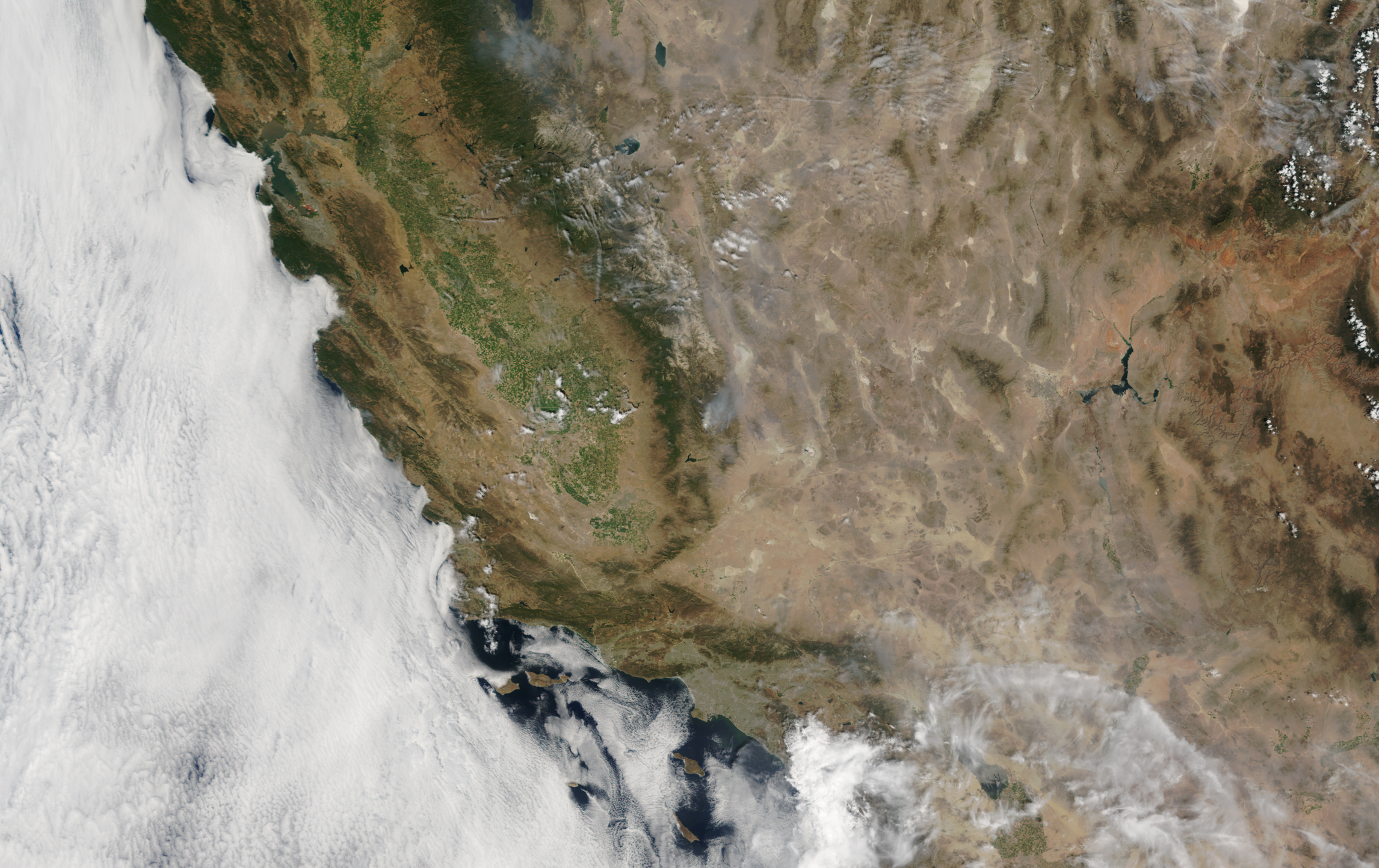
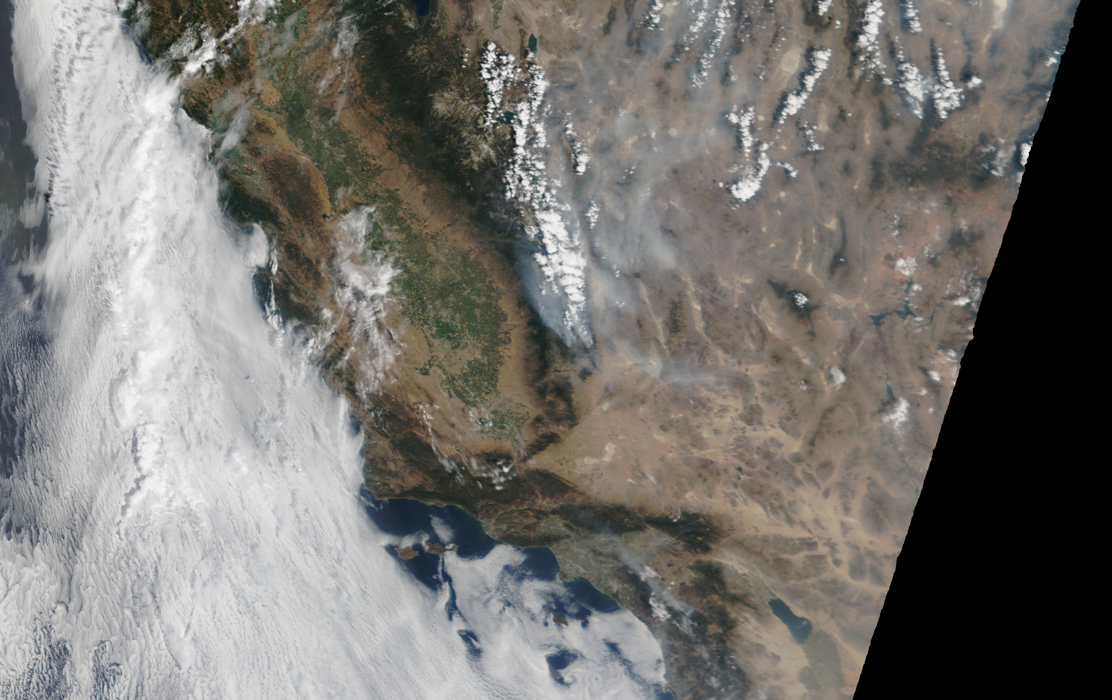
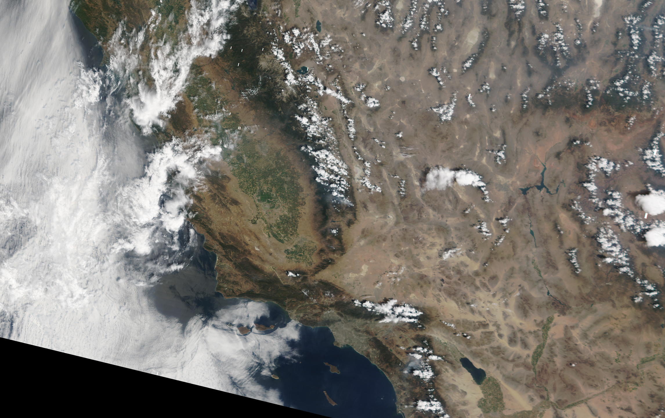
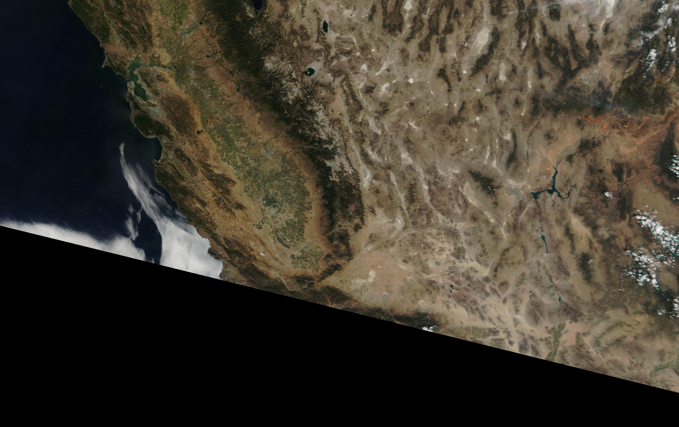
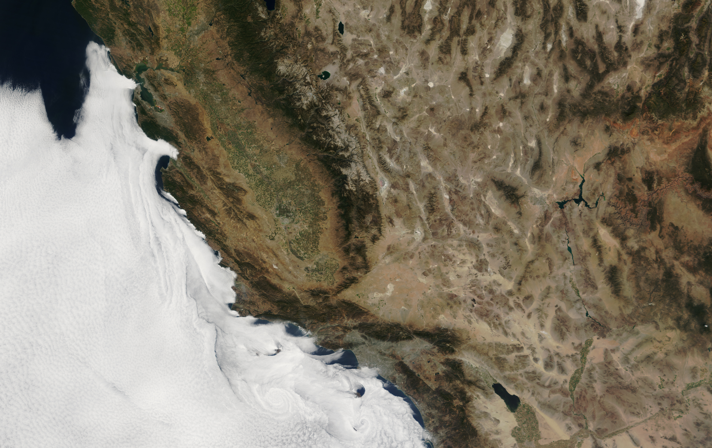
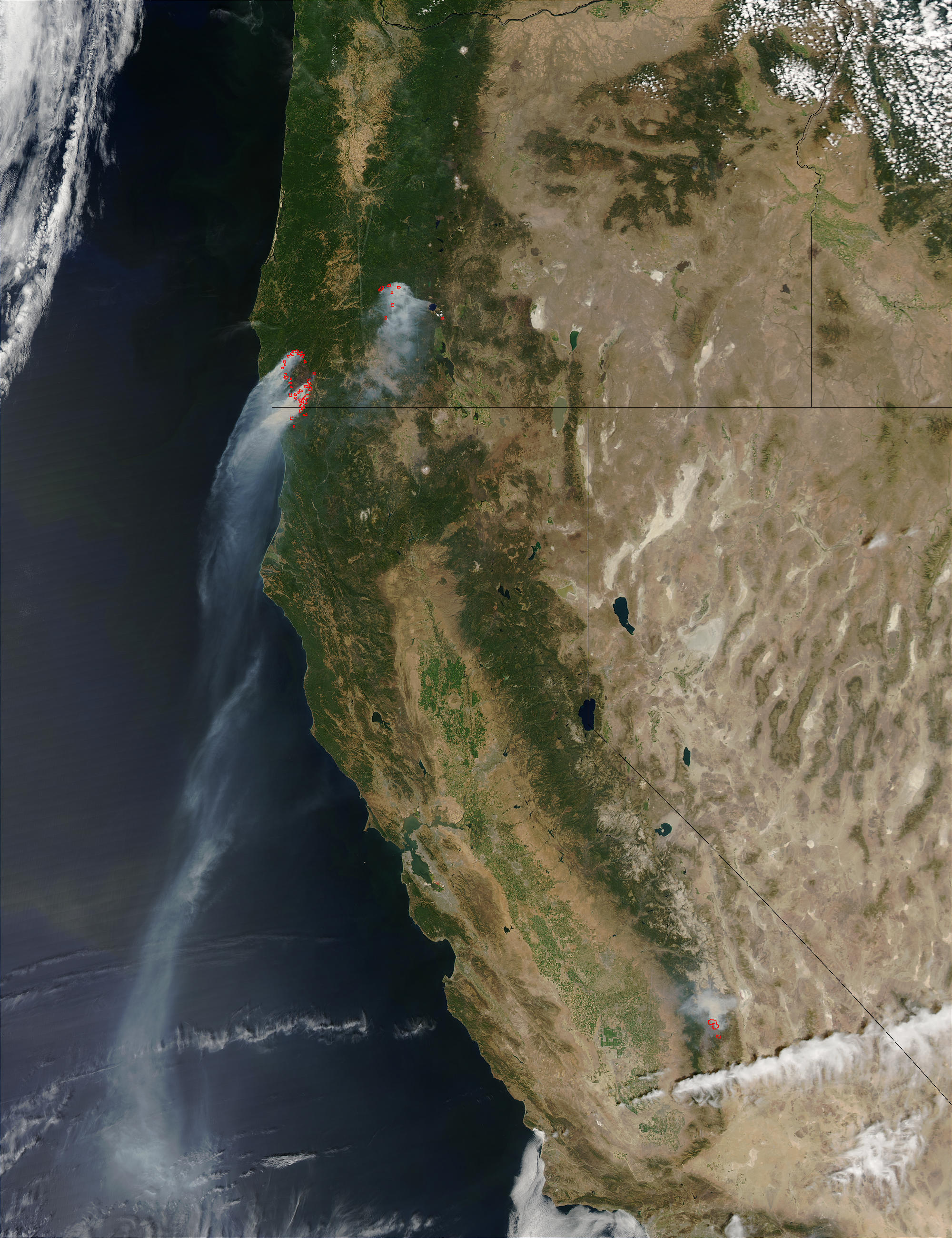
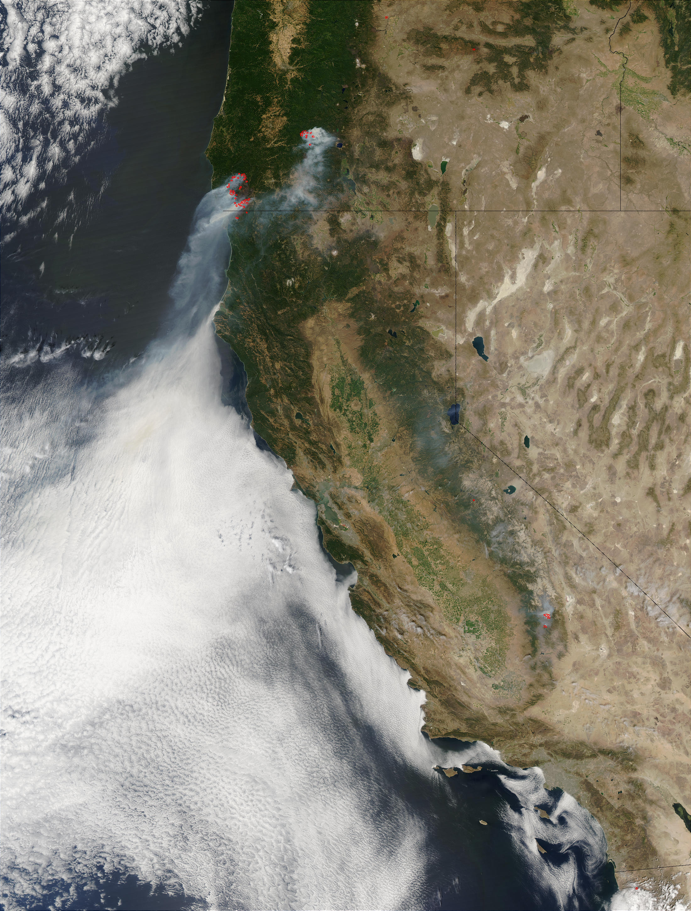
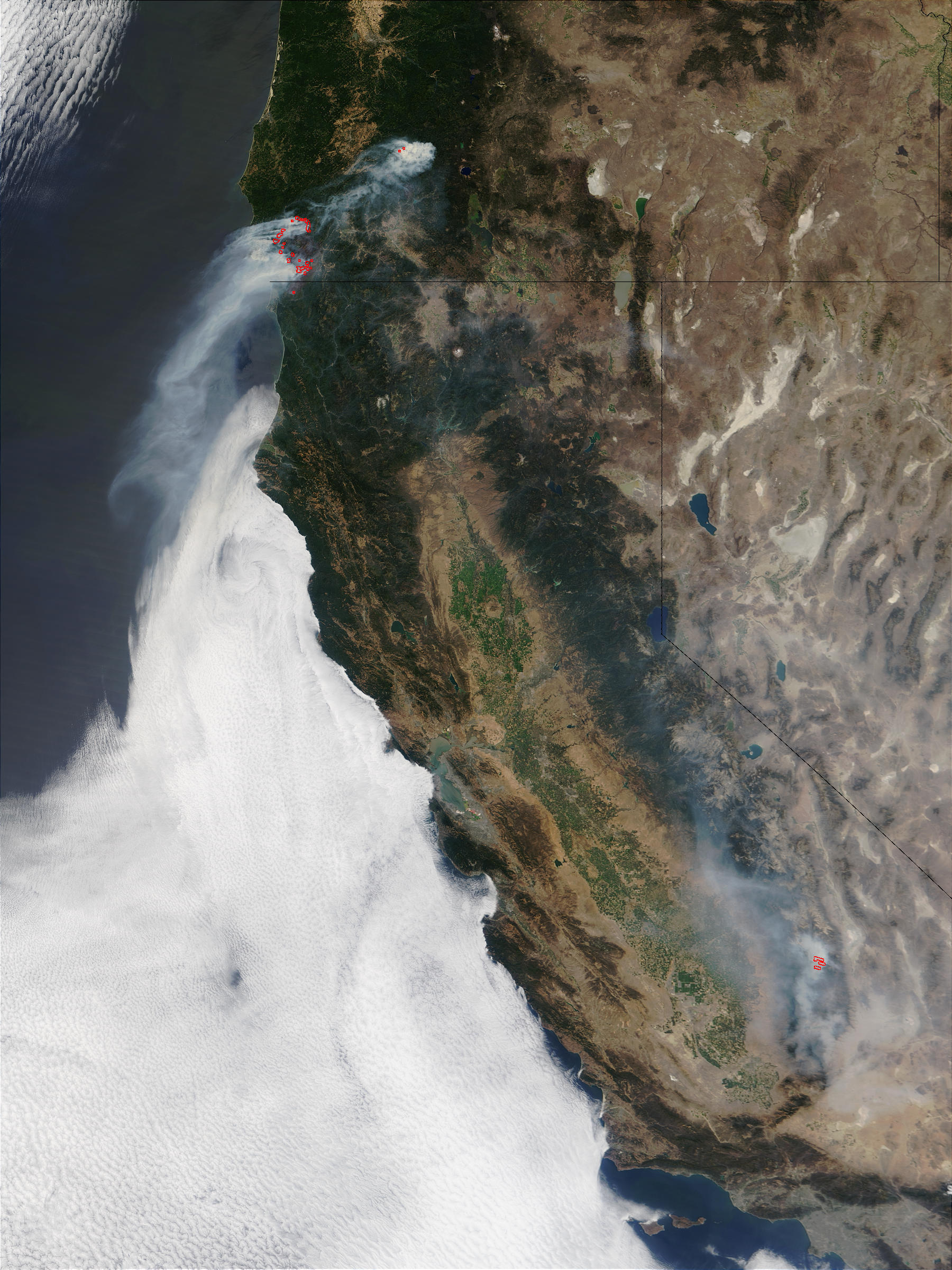
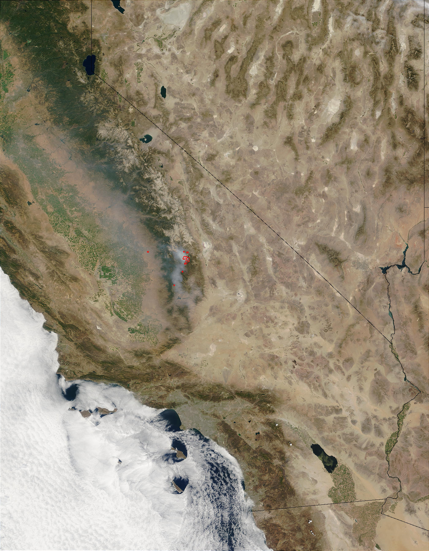
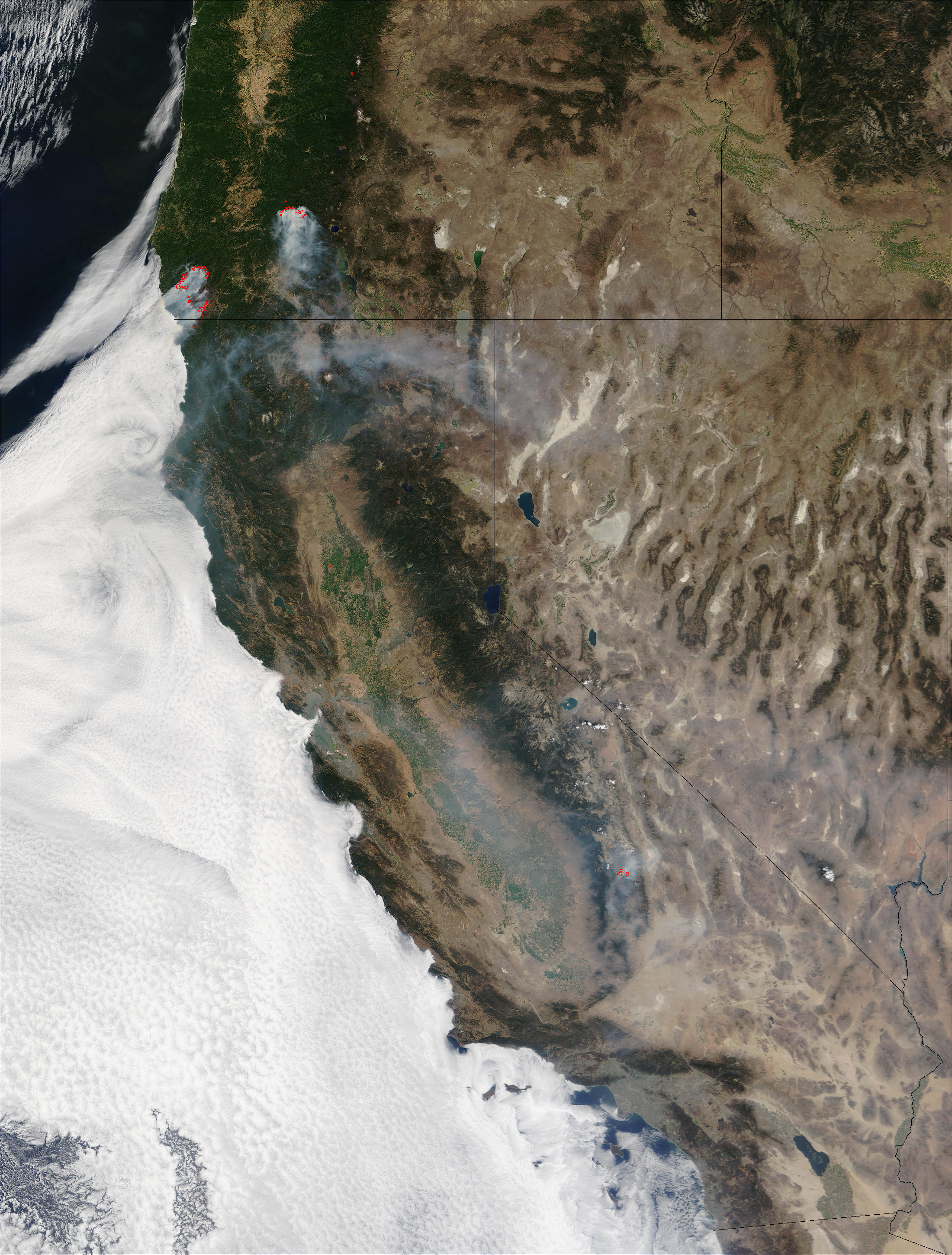
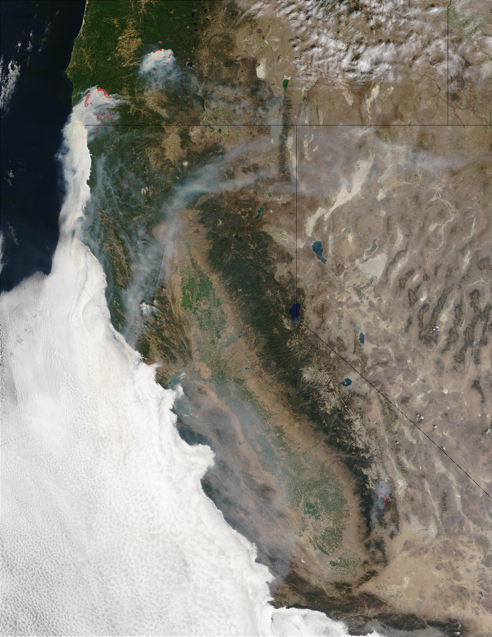
MODIS images are bands 1-4-3 (other variations available) collected from USDA Forest Service and the MODIS Rapid Response System (http://rapidfire.sci.gsfc.nasa.gov)
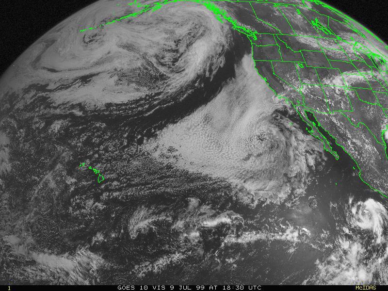
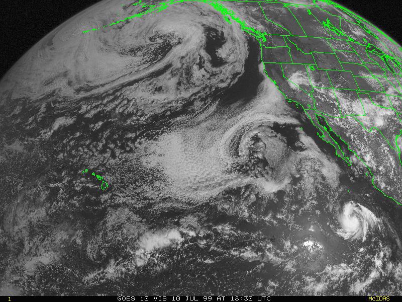
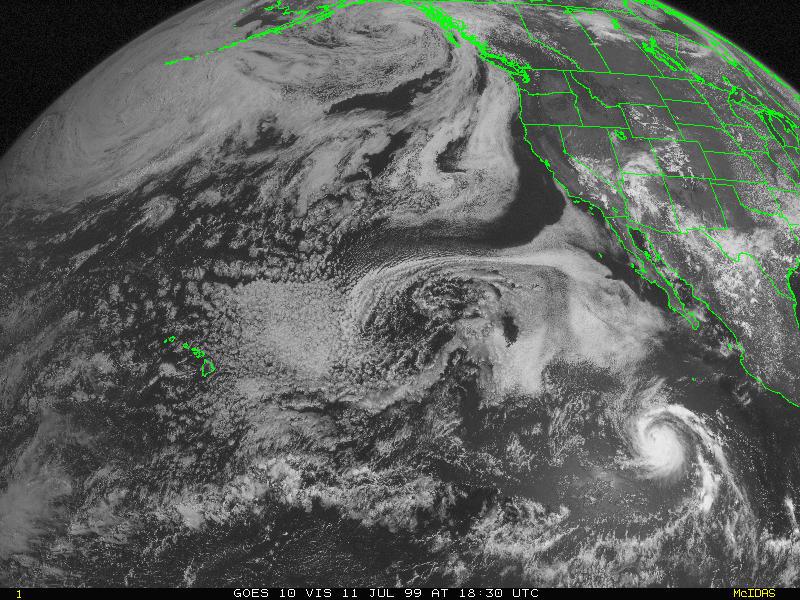
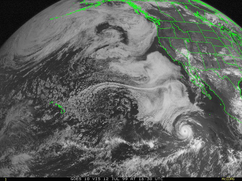
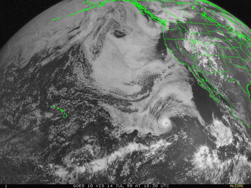
GOES eastern Pacific images are visible images collected from NCDC at: http://lwf.ncdc.noaa.gov/oa/satellite/satellitedata.html
Daily Wild Fire Situation Reports
Daily Wild Fire Situation Reports (July) (August)
Daily Wild Fire Situation Reports - not available
(still looking for images and data)


